


Si le das un pez a un hombre le quitas el hambre un dia, si le enseñas a pescar sustentablemente, se la quitas para siempre... (If you give a man a fish, you take away his hunger one day... if you teach him to fish sustainably, you take away his hunger forever...) 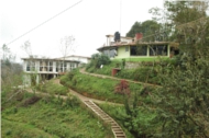
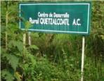
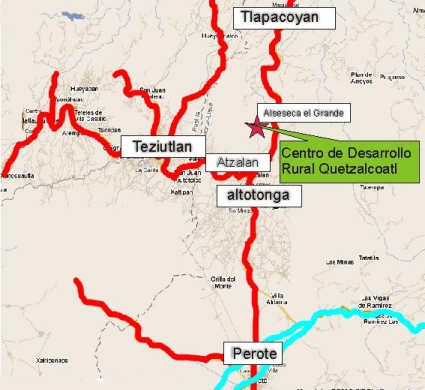
The Quetzalcoatl Rural Development Center is located in the small but beautiful town of Alseseca El grande which is situated in the municipality of Atzalan (State of Veracruz ). Alseseca El Grande has 269 inhabitants and is at 1250 meters above sea level. And it’s about one and a half hours drive away from the beach.
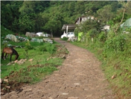
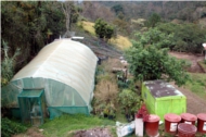
 The area of Atzalan, Jalacingo Altotonga and Teziutlan despite being heavily planted with natural riches, houses an area of marginalized towns that live in extreme poverty conditions. Some of the reasons this occurs are the precarious means of communication and the lack of dissemination of knowledge that will enable the population solve their problems such as low production and poor sustainable management of resources. Weather The climate is humid and cloudy. The rainy season starts in June and it can last until October. The winter is a little bit cold ranging between 5 to 25 degrees celcius(41—77 degrees Fahrenheit) The winds begin in September and October and the cold weather and fogs in November. Frosts are common in November, December and early January. The dry season occurs in mid-March and ends in May starting with little heat, increasing in the months of April and May, decreasing with the rains in June. Hydrology The region is crisscrossed by several rivers, notably the Alseseca and bobos or Colorado there are also countless springs that form their own creeks. Unfortunately Atzalan and Altotonga sewage flow into the Alseseca River, as other towns pour their segwage in to the bobos . This makes them useless for activities such as fish farming. Topography The topography is hilly, with gentle hills and rolling hills, and with slopes ranging from 2 to 50 degrees. The soil type is found is silty clay, and sandy varying depending on the region. Social Organization In most towns, the government system is conform by two main authorities, municipal and ejido. The local agent is responsible for the official business. It counts with one to three oficials, who are responsible for providing warnings to the people. The ejido is responsible for matters relating to land. Food The family diet consists almost exclusively of beans, tortillas and sauces. On some occasions, they even eat eggs, pasta and greens. They eat meat very randomly, usually at the parties. Holidays In the area there are several holidays, mostly religious. Among them:
|


|
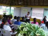
Who are we? |
Our Location |
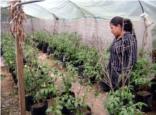
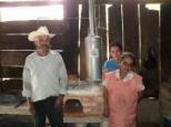
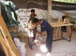
Programs |
Projects |
Technologies |
Transparency |
Testimonies
Este sitio web fue desarrollado por EspacioMéxico | © 2025 Centro de Desarrollo Rural Quetzalcoatl A.C
Recognitions and Awards | Acknowledgements | Frequently asked questions | Want to Help? "Si le das un pez a un hombre le quitas el hambre por un dia, si le enseñas a pescar sustentablemente, le quitas el hambre para siempre..." 
|
||